Maps
(adding IC map info) |
|||
| (27 intermediate revisions by 4 users not shown) | |||
| Line 1: | Line 1: | ||
__NOTOC__ | __NOTOC__ | ||
== The Empire == | <row-fluid> | ||
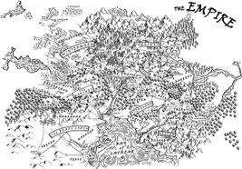
==The Empire== | |||
<span5> | |||
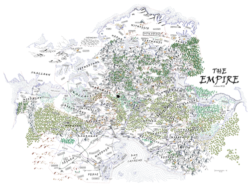
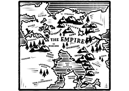
{{CaptionedImage|file=Map-illustrated-superdetailed-MASTER-colour-e4-2017.png|link=https://www.profounddecisions.co.uk/empire-wiki/File:Map-illustrated-superdetailed-MASTER-colour-e4--2017.png|caption=Superdetailed colour Empire Map|width=500|align=center}} | |||
</span5> | |||
<span5> | |||
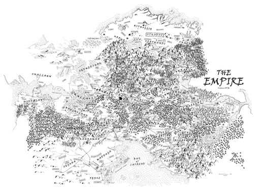
{{CaptionedImage|file=Map-illustrated-superdetailed-e3-2017.png|link=https://www.profounddecisions.co.uk/empire-wiki/File:Map-illustrated-superdetailed-e3-2017.png|caption=Superdetailed Empire Map|width=500|align=center}} | |||
</span5> | |||
</row-fluid> | |||
<row-fluid> | <row-fluid> | ||
| Line 17: | Line 26: | ||
</row-fluid> | </row-fluid> | ||
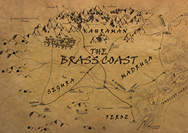
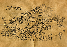
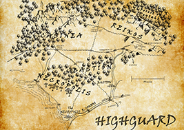
== Nations == | ==Imperial Nations== | ||
<row-fluid> | <row-fluid> | ||
| Line 66: | Line 75: | ||
</row-fluid> | </row-fluid> | ||
==Foreign Nations== | |||
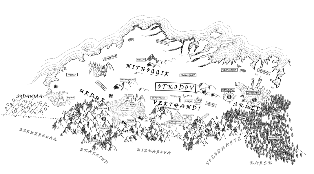
===Thule=== | |||
<div style="float: left; clear: right; margin-left:10px;"> | |||
<gallery heights=400 mode="packed"> | |||
Otkodov-simple.png|link=Otkodov | |||
</gallery></div> | |||
<row-fluid></row-fluid> | |||
==Barbarians== | |||
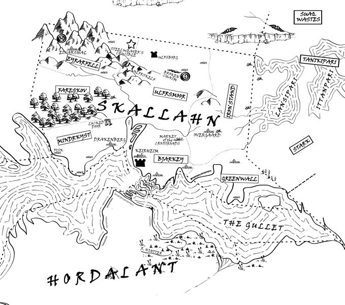
===Jotun=== | |||
<div style="float: left; clear: right; margin-left:10px;"> | |||
<gallery heights=400 mode="packed"> | |||
Skallahn-map.png|link=Skallahn | |||
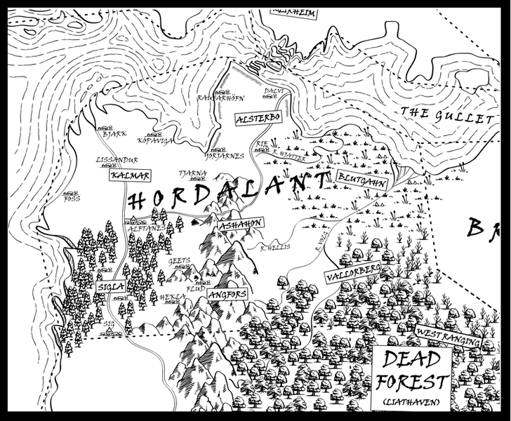
Hordalant.png|link=Hordalant | |||
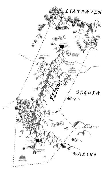
ReinosRegions.png|link=Reinos | |||
</gallery></div> | |||
<row-fluid></row-fluid> | |||
===Druj=== | |||
<div style="float: left; clear: right; margin-left:10px;"> | |||
<gallery heights=400 mode="packed"> | |||
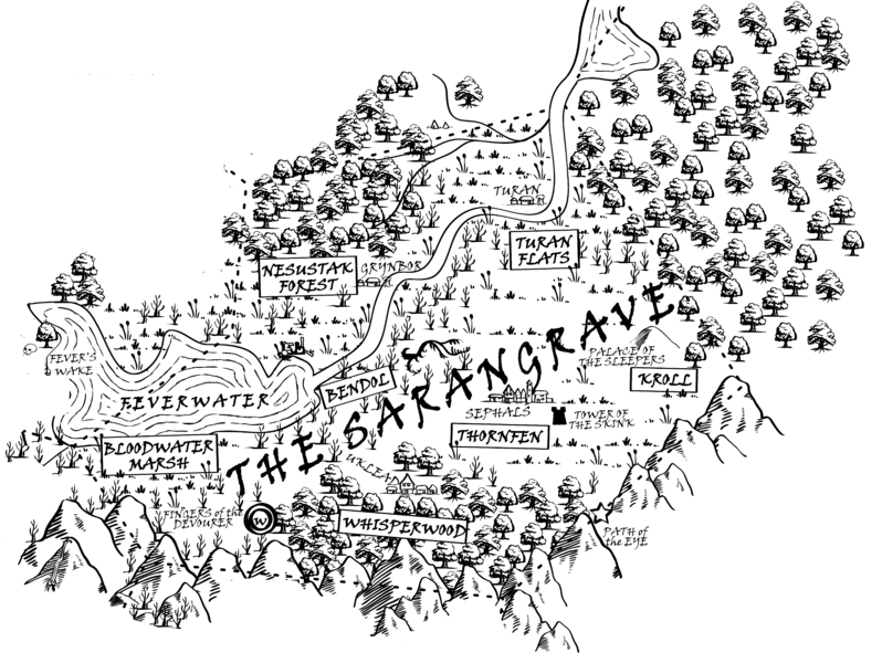
Regions_of_Sarangrave.png|link=Sarangrave | |||
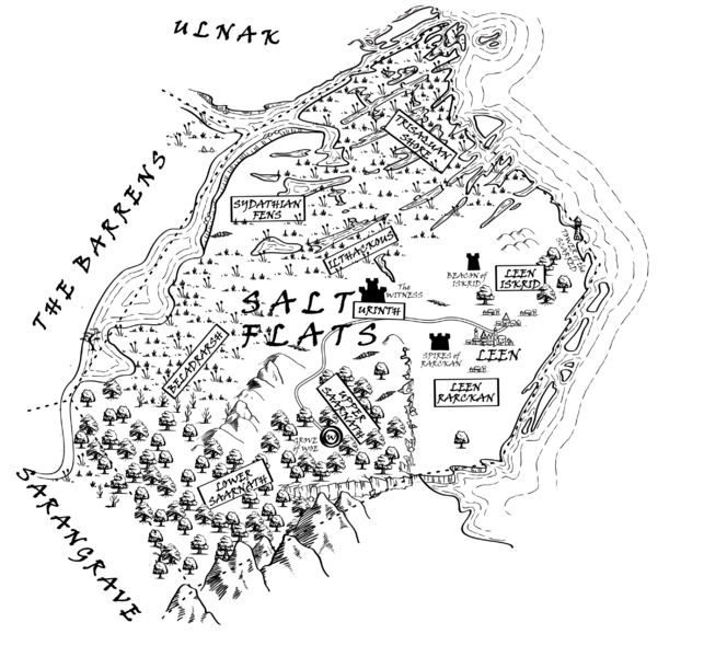
Salt_Flats_of_Sanath_Regions.png|link=Salt Flats of Sanath | |||
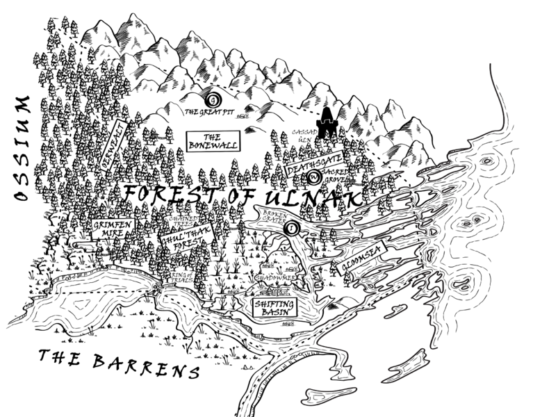
Forest of Ulnak regions.png|link=Forest of Ulnak | |||
</gallery></div> | |||
<row-fluid></row-fluid> | |||
<!--<row-fluid> | |||
<span4> | |||
{{ThreeColIconImage|file=Regions_of_Sarangrave.png|link=Sarangrave|caption=Sarangrave}} | |||
</span4> | |||
<span4> | |||
{{ThreeColIconImage|file=Forest of Ulnak regions.png|link=Forest of Ulnak|caption=Forest of Ulnak}} | |||
</span4> | |||
</row-fluid>--> | |||
== The Wider World == | ==The Wider World== | ||
<row-fluid> | <row-fluid> | ||
| Line 77: | Line 120: | ||
</row-fluid> | </row-fluid> | ||
== Tactical Maps == | ==Tactical Maps== | ||
<row-fluid> | <row-fluid> | ||
<span4> | <span4> | ||
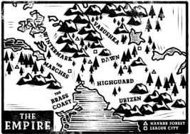
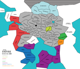
{{ThreeColIconImage|file=Map | {{ThreeColIconImage|file=Tactical Master Map.png|link=Map - Coloured Territories|caption=Empire and close nations}} | ||
</span4> | </span4> | ||
| Line 89: | Line 132: | ||
<span4> | <span4> | ||
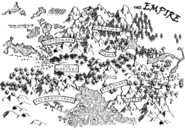
{{ThreeColIconImage|file=Map-tactical-ic-watercolour-small.jpg|link=Map - Coloured Territories|caption=Coloured Territories}} | |||
</span4> | </span4> | ||
</row-fluid> | </row-fluid> | ||
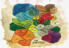
Maps by Daisy Abbott. | Maps by Daisy Abbott. | ||
Important note, control of territories and even regional keywords can change from event to event. Please try to make sure you are using the most recent version of the map that is available. There is no guarantee that the maps will be updated every event. | |||
The [[Gazetteer]] tells you all about the places on the map. | |||
<!-- | |||
===Map Viewers=== | |||
Alongside the above, you can take a look at [http://larp.me.uk/PD/empire/map/ Nicholas Avenell's wonderful zoomable Google version of the Empire Map]. | |||
=== | |||
Also, Racheet Dave has now produced [http://empire.racheet.me/ a cool dynamic map] so you can study the Empire territory by territory. | |||
--> | |||
[[Category:The Empire]] | |||
[[Category:Maps]] | [[Category:Maps]] | ||
Latest revision as of 15:00, 20 December 2024
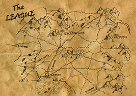
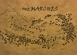
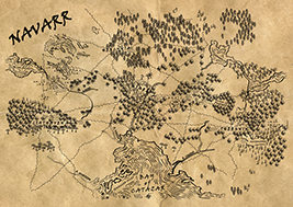
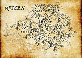
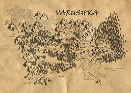
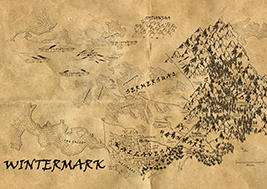
Imperial Nations
Foreign Nations
Thule
Barbarians
Jotun
Druj
The Wider World
Tactical Maps
Maps by Daisy Abbott.
Important note, control of territories and even regional keywords can change from event to event. Please try to make sure you are using the most recent version of the map that is available. There is no guarantee that the maps will be updated every event.
The Gazetteer tells you all about the places on the map.
